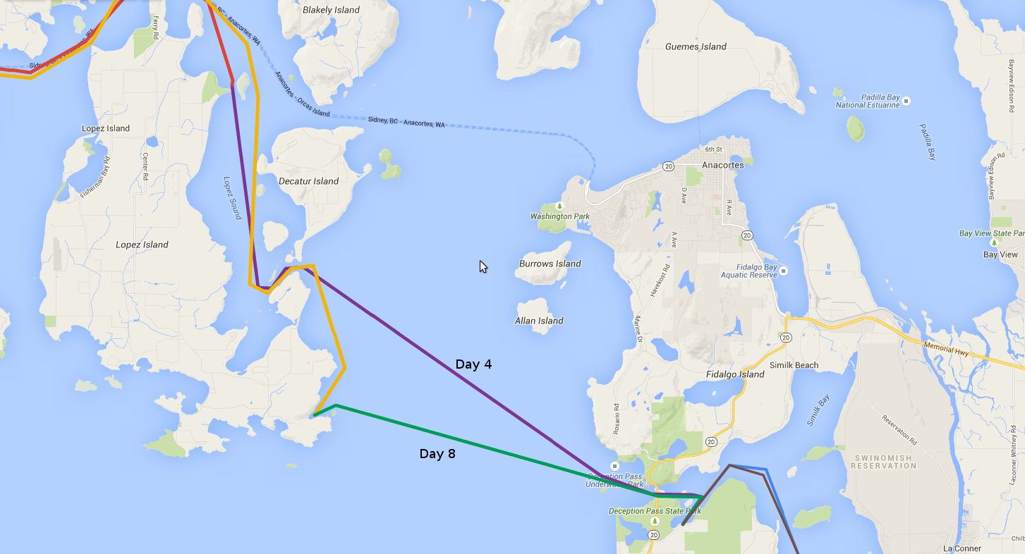
Day 8 (Green).
Day 1/2 Day 3 Day 4 Day 5 Day 6 Day 7 Day 8 Day 9 Day 10 Day 11


Tuesday morning we awoke after a less than restful night at anchor. I dashed up on deck to see where we were, 100% sure that we'd be out at sea someplace. Happily, we were still right where we had anchored. This discovery greatly boosted my confidence in Renegade's anchor system, and more or less offset the annoyance of not sleeping well. After breakfast, the first order of business was to check the day's forecast on the weather radio. The computer voice mechanically informed us of a small craft advisory for the east end of the Strait of Juan de Fuca for the rest of the day and evening. Son of a.... what happened to the favorable forecast from the day before??? Looking east at Rosario Strait showed a bunch of fog which seemed to be getting thicker as time passed. Somehow Deb had a cell signal, so we used her phone as a hotspot to get online and check some of the online weather resources. They all seemed to agree... no crossing the Strait today! Our options were to wait another day and hope for better conditions on Wednesday, or to head back across Rosario Strait and through Deception Pass. If the weather did improve, we'd be able to cross over to Port Townsend and avoid retracing our route. But, if the weather didn't improve, we'd still have to backtrack, and we'd have one less day in which to do it. If we committed to that course now, we could at least make a relaxed trip back and stop at someplace we hadn't seen yet. What to do?
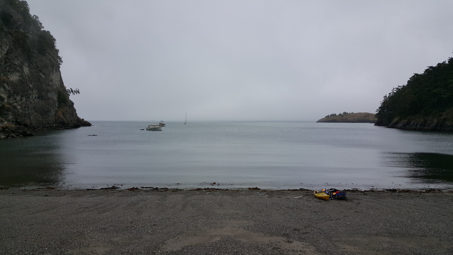
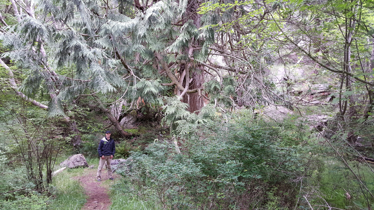
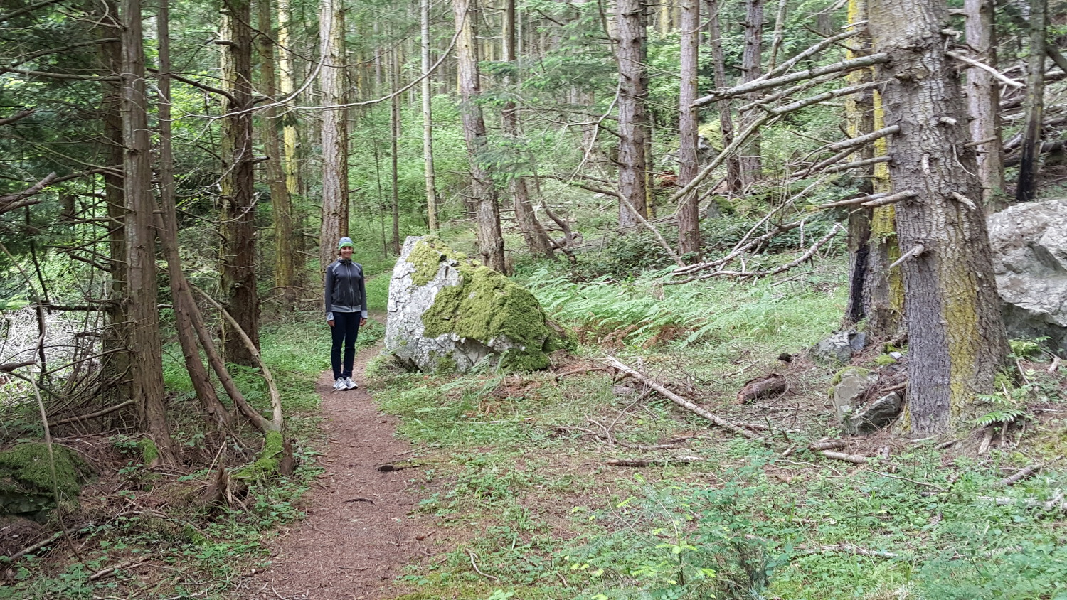
We opted to not decide and instead head in to shore to do some exploring, with the idea that we could check the conditions again when we got back and make a decision then. So, we put the kayaks in the water and paddled in to the small beach at the head of the bay. After dragging the boats what seemed like a safe distance up onto the beach, we found a small trail and started hiking in. Soon after, the trail seemed to split, with the right fork looking like it was heading up the cliff wall. The guidebook mentioned that the trail was "a short steep hike up to the top." So I went a little ways in that direction and discovered that it was more like a climb than a hike. The trail was sketchy enough that I wasn't even sure it was a real trail, so we decided to explore the left fork and see where that went. It stayed at sea level and made a big loop through a cool forest around a swamp/pond in the center of the loop. After a half mile or so we emerged on the other end of the beach where we started. No other trails branched off, so I guess that steep one was what the guidebook was talking about after all.

With nothing much else to do, we paddled back to our boat and loaded the kayaks aboard. After checking the weather again, and seeing that the fog was retreating a bit, we finally decided to head back through Deception Pass. This would allow us a leisurely trip home. We'd even have time to stop at the town of Oak Harbor on Whidbey Island, which we had bypassed on the way up. Slack tide in Deception Pass was to be at about 5pm. I wanted to be early, because if we were late the current would be against us, and we very well might not be able to make it through, depending on how late we were. So, we'd leave plenty of time to get there, and if we were early, we could just wait for slack tide.
With the boat prepped and ready to go, it was time to weigh anchor. We would use the system of hand signals that we had developed during our previous anchor weighing experience. The only difference was that this time there was quite a bit more wind. If there is one thing Renegade does not like to do, it is point into the wind when she's not moving. The bow gets blown downwind pretty quickly. This makes for interesting behavior at anchor, as the bow tries to blow downwind, but the anchor line is pulling it back into the wind. With waves pushing the boat from behind (yes, the waves were still opposite the wind, somehow), this behavior was even more pronounced. The upshot of all this was that it took a bit more than idle speed to be able to steer the bow into the wind, and it was difficult to go towards the anchor. Deb would point me to the left, and we'd overshoot and have to steer back right. The closer we got to the anchor, the worse it became. Through some strange combination of drifting downwind, backing up, going forward, etc, we finally got close enough to the anchor to break it free and haul it aboard!

Finally free of Watmough Bay, we motored east into Rosario Strait. Once out there, the wind seemed much less than it had been in the Bay. So much for a sheltered anchorage. We put up the sails and made good time towards Deception Pass. Our course took us directly through the intersection of three shipping lanes, so we kept a good lookout for large ships and I watched the radar like a hawk. With nothing much else to do, I practiced taking compass and radar bearings on the shipping lane markers and plotting our position on the chart. As we crossed the strait, we encountered more tidal eddies where the water flowing north interacted with other bits of water that weren't flowing north. These spots were always visible, and always required active steering to keep the boat on course.
At some point, I looked in the water behind the boat and realized we were towing a "sea beet." Sea beet is my name for some kind of seaweed that we see all over the place. Deb keep's telling me it's called "kelp." It's the same size and shape as a beet though, with long streamers coming out the top. If it looks like a duck and quacks like a duck, it's a sea beet. This one was wrapped around our rudder, trailing out 10 or 15 feet behind us. Well, that won't do, having this thing dragging behind and slowing us down! I attempted to push it down off the rudder with the boat hook, but from my position at the other end of the boat hook I didn't have enough leverage and the water rushing past kept knocking the end of the pole out away from the rudder. After several tries we had to ease the sails and coast to a stop, and I was then able to climb down onto the swim platform and knock the hitchhiking salad loose. I don't know if it made any noticeable difference on the knotmeter, but I certainly felt faster once it was gone!

As we progressed across Rosario Strait, we became more and more exposed to the swell coming in from the Strait of Juan de Fuca to the southwest. This swell was hitting us from behind and to the right (starboard quarter). As we neared Deception Pass, the direction shifted forward until it was coming almost directly from the side of the boat. Of course, the swells got a bit larger as well. Nothing crazy, but it produced a rather disconcerting side to side rolling motion of the boat. We reached Deception Pass about 50 minutes early. I wasn't totally in love with the idea of hanging out in the annoying swell for the better part of an hour. I remembered reading some accounts by locals who said they preferred running the pass with the current rather than at slack because it was faster, and less busy. Doing some current calculations showed that we'd have about 4 knots of current if we went through the pass right now. What the heck? Let's give it a try... 4 knots doesn't sound that bad, we'll just ride the last of the flood tide in.
My biggest concern was getting caught in some kind of eddy or whirlpool and losing control of the boat near the rock walls of the pass. So, I focused on keeping the boat in the fast moving water in the center, steering clear of the visible eddies. I throttled back to about 3 knots, figuring that would give me more time to react to things. And, through we went. The GPS read 7.5 knots over the ground with the knotmeter showing 3 knots through the water. We didn't hit so much as a burble of noticeable turbulence. In fact, the eddies out in the strait had been worse! Another anti-climactic trip through Deception Pass!
Once through, we turned into Cornet Bay and tied up to the floating dock again. A nice relaxing dinner was followed by some course plotting and waypoint entry for the next day's trip to Oak Harbor. The guidebook said to follow the channel into the harbor precisely because it was very shallow. I didn't have any large scale paper charts of Oak Harbor, but I had an electronic chart on my computer that showed more detail. I wanted to make sure I had a GPS course I could follow in case the channel markers weren't visible for some reason (too far to the next one, fog, etc). After double and triple checking the waypoints against the paper and electronic charts, we finished the night with a game of Bananagrams, which neither of us won, and went to bed.
Day 1/2 Day 3 Day 4 Day 5 Day 6 Day 7 Day 8 Day 9 Day 10 Day 11