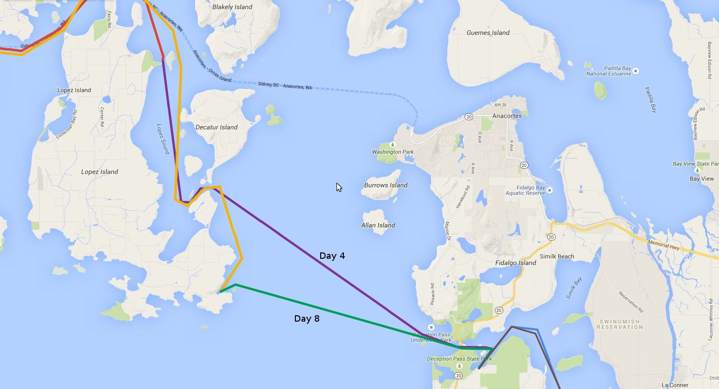
Day 4 (Purple).
Day 1/2 Day 3 Day 4 Day 5 Day 6 Day 7 Day 8 Day 9 Day 10 Day 11

Friday we awoke and, after breakfast, decided to make a supply run. This consisted of paddling the kayaks over to the small grocery/bait/fishing-gear store at the marina next to the state park. It was less well stocked than most 7-Elevens, but we managed to get some necessities such as: more beer, wine, small bags of tiny cookies, ramen noodles, ice, and the score of the day, a tin of Vienna Sausages. Deb hates Vienna Sausages, and to be sure they are right up there with Spam in terms of being categorized as "food." However, they remind me of simpler days eating boxed macaroni and cheese and Jolt cola, and I haven't had them in 15 years or so.
I managed to fit most of that stuff in the various storage compartments on my kayak, and paddled our treasure back to the boat while Deb paddled over to the state park beach to use the bathroom. The down side to being tied up to a floating dock is that if you want to use the shore bathroom, you have to paddle over there. After stowing the supplies, paddling around a bit to explore the area, and eating lunch, we began to prepare the boat for departure.
During preparation for the trip, I had watched several videos such as this:
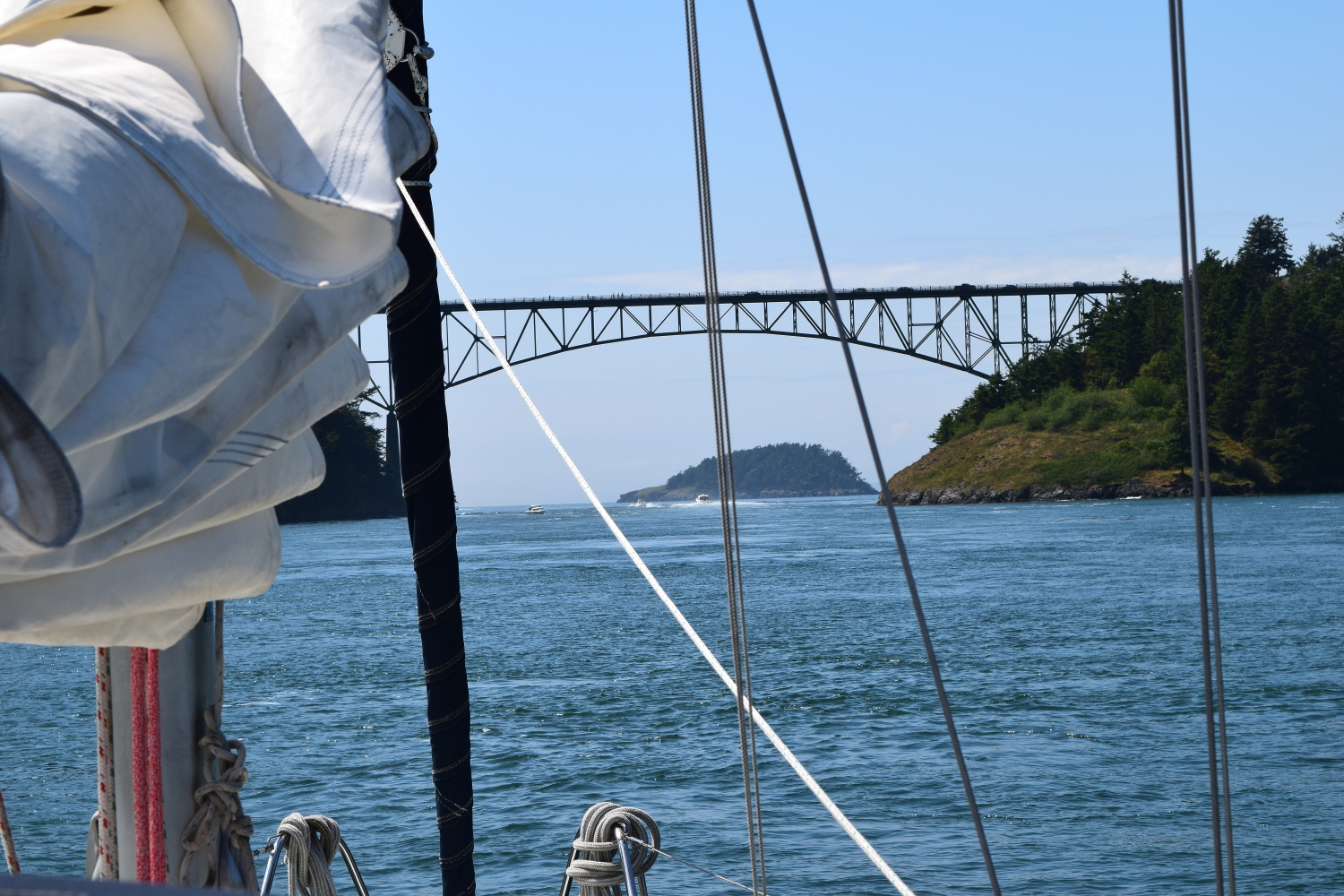
Capt'n Jack's Tide & Current Almanac said that slack tide in Deception Pass was at 2:31pm, and I was determined to hit that time as close as possible! Logistically this was made easier by the fact that we only had about a mile to travel to get there. We departed the dock, and motored around the east end of Ben Ure Island. There it was in front of us. It looked calm enough, with the bridge arching majestically overhead, but what roiling, churning waters lay just beneath the surface, ready to pull us down into a watery grave??? As we neared the pass, I noticed the patches of boiling water and flat upwellings that I had seen on the way in the night before. Gulp... we were in for a rough ride for sure! The fact that any number of small fishing boats were floating calmly all through the pass went unnoticed. We got closer... eyes peeled for the anticpated maelstrom that would for sure swallow us up. Closer... the pass narrowed, the walls closed in... and.... nothing. The bridge passed overhead, and we were through without so much as a little eddy disturbing us from our course. Well, talk about anti-climactic!
Once through the pass, we needed to head northwest across Rosario Strait for Lopez Pass on the east side of Lopez Island. The weather forecast had prediced 10 knot winds, and I was looking forward to doing some sailing after so much motoring the day before. There was not a whole lot of wind just outside the pass, but I was confident that once we got out away from land, and past Lighthouse Point and Deception Island, and out into open water, there would be more wind. Alas, that was not the case. The surface of the water had a glassy smooth quality to it that screamed, "Not sailing today, Buddy!!!!" So I occupied myself watching the radar, as we were crossing through the intersection of three major shipping lanes. I also scanned the water for any signs of wind, and watched the wind vane for any indication that it was pointing anything other than straight ahead. Despite a couple of small, teasing puffs, it was not to be, and we motored the whole way across Rosario Strait.
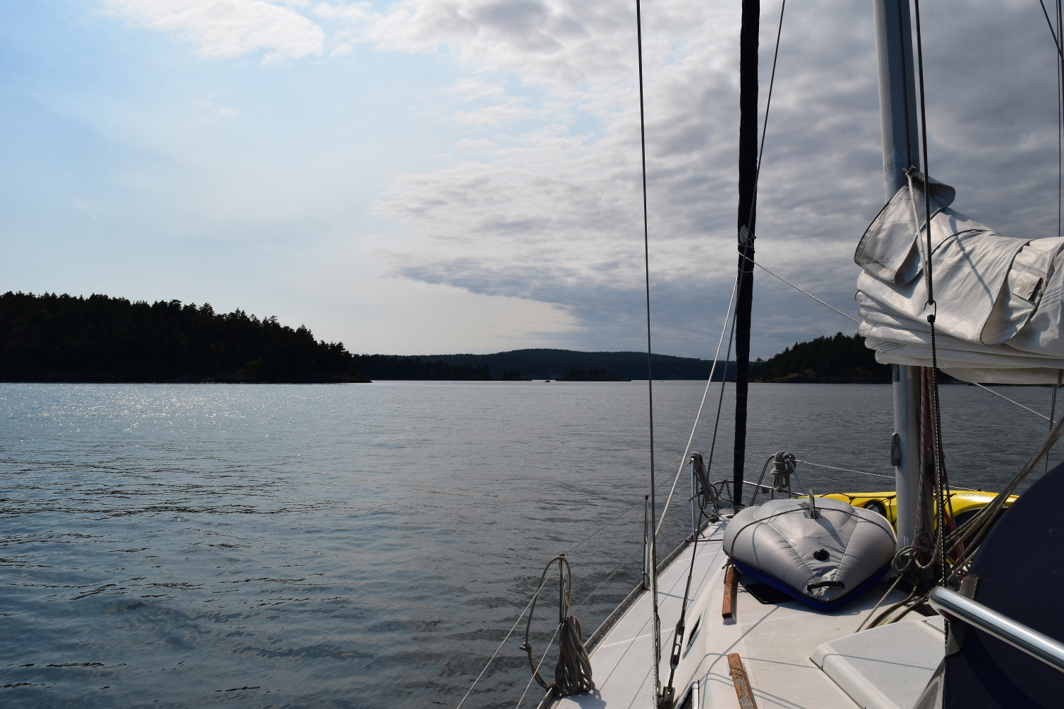
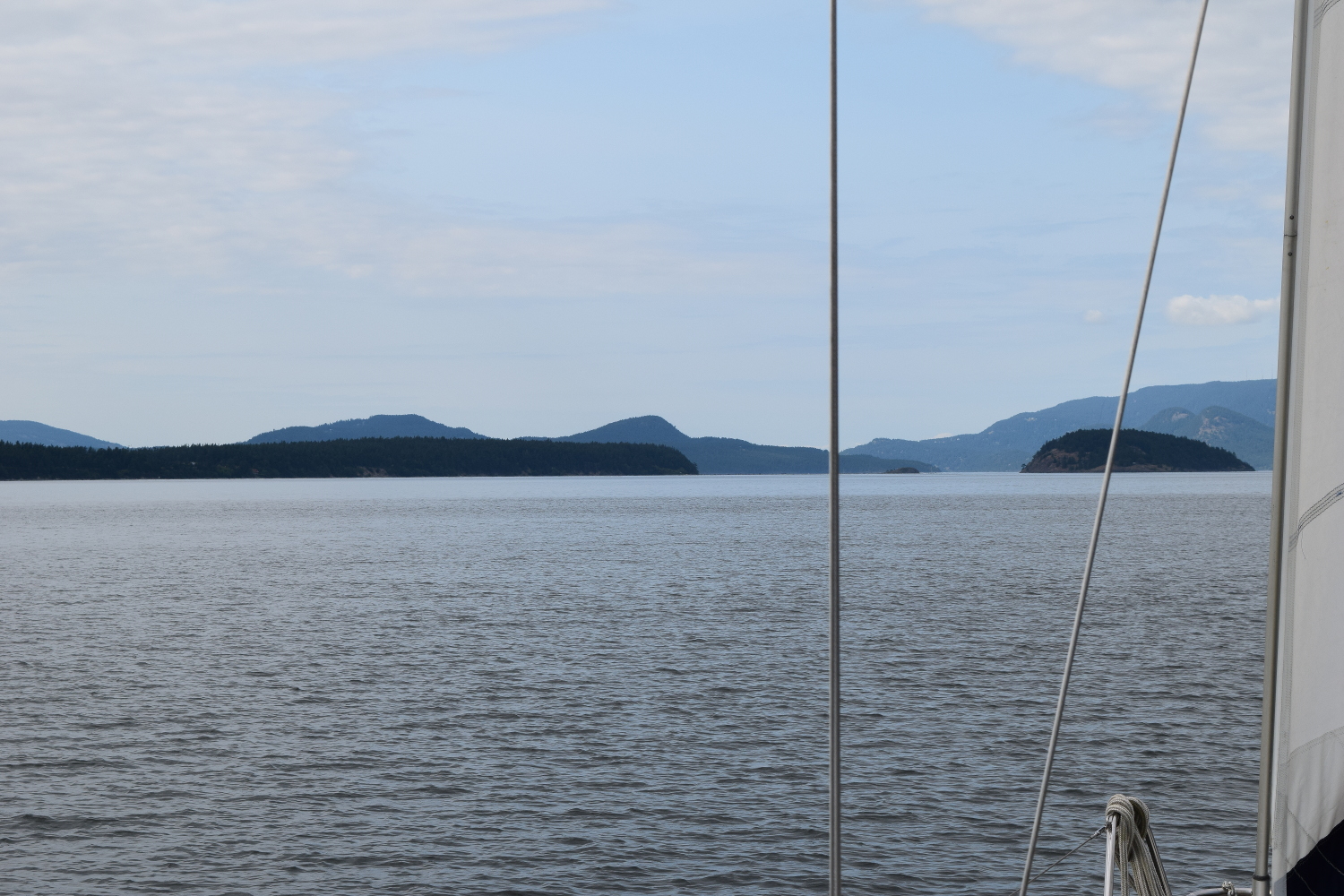
Lopez Pass is the southern most entrance to Lopez Sound, between Lopez and Decatur Islands. We motored through, past a couple of very pretty small islands (one of which had a for sale sign on it!), and into Lopez Sound. Once inside, we turned north for our destination, Spencer Spit State Park. Shortly I made an interesting discovery: there was wind here! Up went the sails, off went the motor, and for the first time all day, we were sailing! It was ideal, drifting serenely along at a couple of knots, surrounded on all sides by scenery out of a post card, lit by the late afternoon sun. Boat traffic in the sound was nearly non-existant, a welcome change from the fishing boats and cruising motorboats that had been a constant presence the day before.
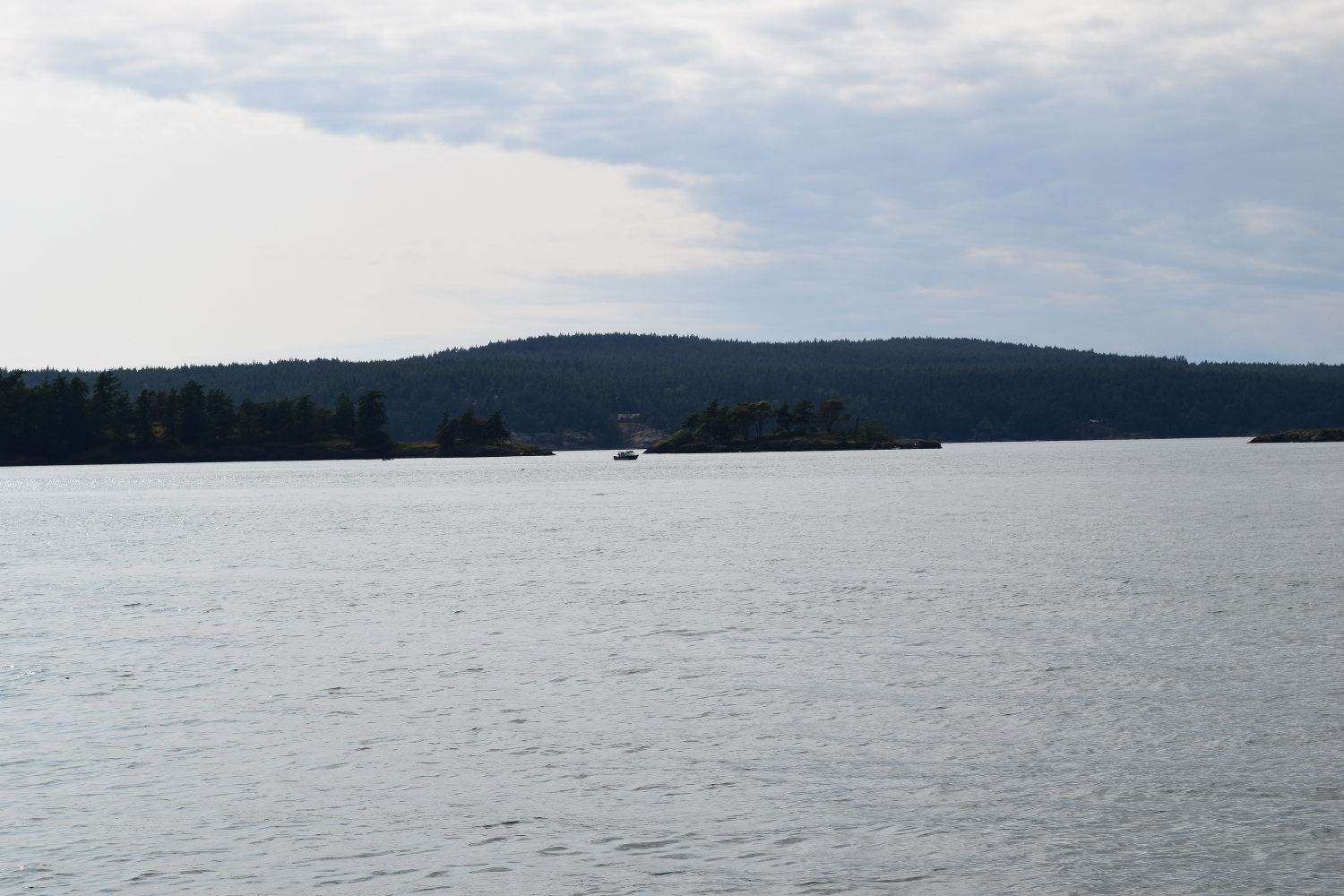
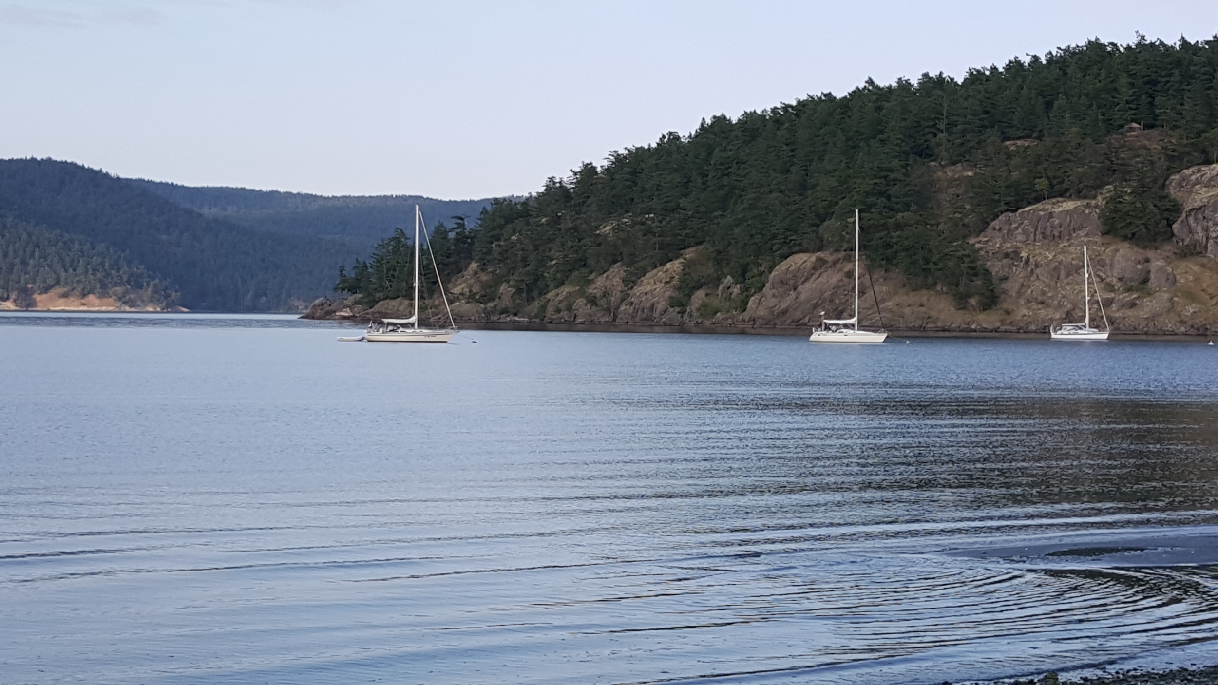
In typical fashion, the wind dwindled and finally died a mile or two from our destination, so we grudgingly fired up the motor once again, and aimed the boat for Spencer Spit. This state park consists of a sandy spit that juts out from the east side of Lopez Island. There are mooring bouys on both the north and south sides of the spit, and you can anchor as well. Recommended by my friend Fletcher, it was also rumored to have bike rentals. Our plan was to spend the night tied up to one of the mooring balls. As we approached the spit, there were a couple of sailboats on the north side. That seemed to be the more sheltered side given the predicted winds, so we decided to join them.
Getting to the north side of the spit required either passing between the end of the spit and Frost Island, or taking the long way around to the right of Frost Island, which did not sound appealing. The guidebook described the pass between the spit and the island as "narrow, but deep and safe." It was hard to tell on the chart, as the scale was not large enough to get much detail. Visually, it looked like the sandy spit ran almost to the island, and that it couldn't possibly be more than a few feet deep. With Deb on the bow, and me watching the depth sounder, we crawled forward, hugging the Frost Island side of the "channel." As we got closer, you could see the water rippling as it flowed over the end of the spit, as if the bottom was just a few inches under the surface. The depth sounder displayed an ever decreasing depth, and some mental extrapolation indicated that we were in for trouble. Then... it stopped decreasing. The depth held steady at about 23 feet, and then began to increase again as we passed the end of the spit. I guess the guidebook was right!
Breathing a sigh of relief, we motored over to one of the mooring bouys, tied up, and congratulated ourselves on a job well done. We kayaked in to shore and started looking for the drop box to pay for our mooring. In the process we ran across some information signs about the historical significance of Spencer Spit. We wandered down the south side of the spit, and eventually found the pay box. What I did NOT find was my checkbook, which I had forgotten on the boat. After a complete lap of the spit, I arrived back at the kayaks and paddled out to retrieve the checkbook while Deb took pictures. With the check written, I headed back to shore. We hiked around a little bit, dropped the payment in the box, and then paddled back to the boat for dinner.
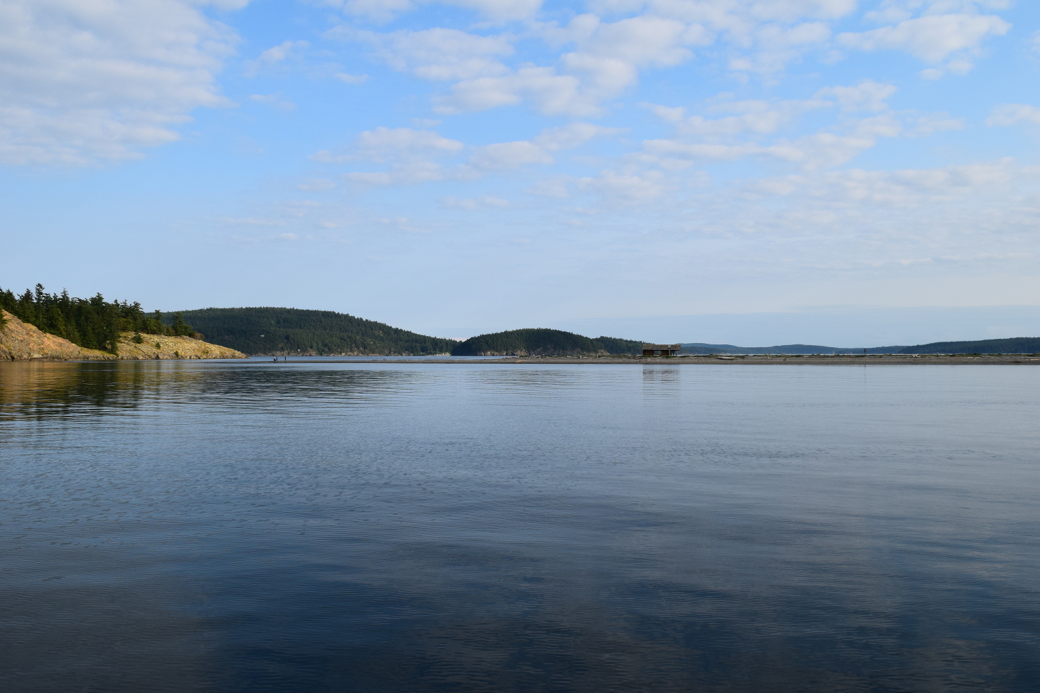
Pictures really don't do justice to how pretty it is up in this area. It feels like you are floating in a post card with evergreen covered islands rising from the dark water all around. It is easy to see why this is a world class cruising destination! We spent the last bit of the evening lounging on the deck wallowing in epic scenery, and then turned in for the night.
Day 1/2 Day 3 Day 4 Day 5 Day 6 Day 7 Day 8 Day 9 Day 10 Day 11